
Analysts of the Ukrainian OSINT project DeepState updated their interactive map of the front line, according to which the russian invaders captured one settlement and advanced near five more.
This is evidenced by the October 4 update of the DeepState interactive map.
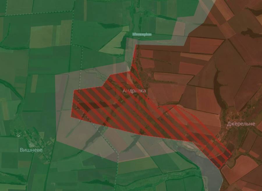
According to analysts, russian troops occupied the village of Andriyivka. It is located in the extreme west of the Luhansk Region, part of which is controlled by the Armed Forces of Ukraine after the counteroffensive in the fall of 2022.
 Screenshot of the DeepState interactive map
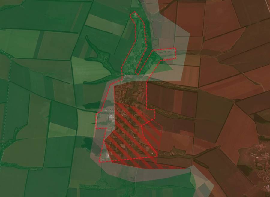
The occupiers also advanced near Stelmakhivka, Luhansk Region. It is located a few kilometers north of occupied Andriyivka.
 Screenshot of the DeepState interactive map
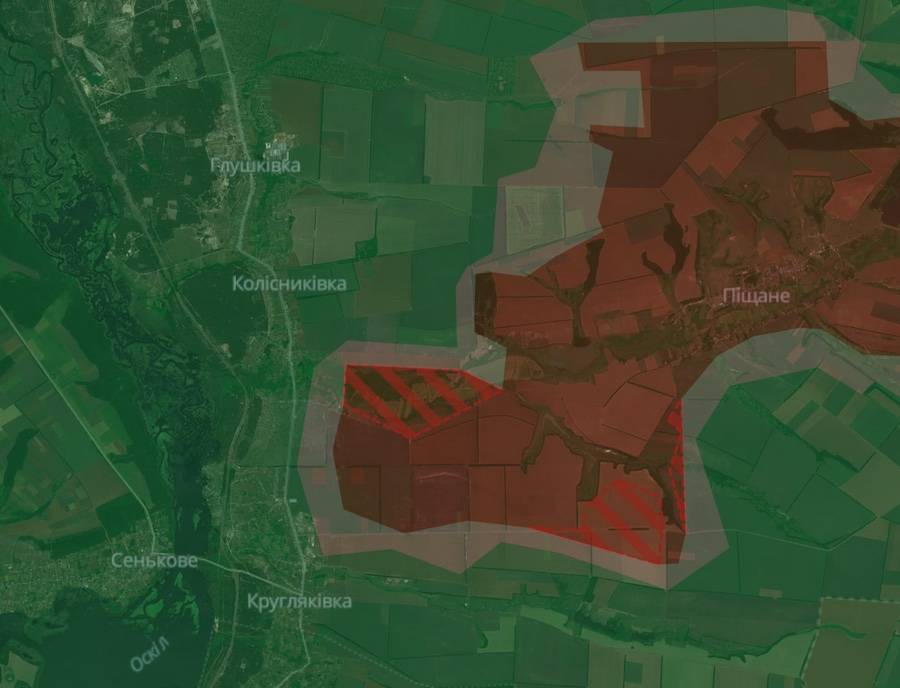
In the Kupyansk Axis of the Kharkiv Region, the russians occupied a number of positions to the southeast of the settlement of Kolisnykivka.
 Screenshot of the DeepState interactive map
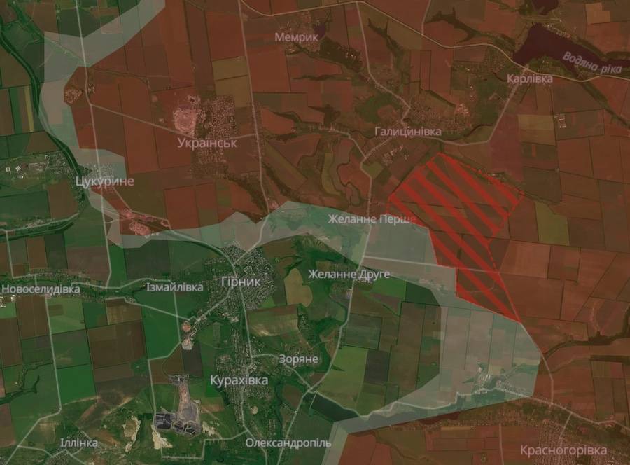
In the Donetsk Region, the advance of the occupiers was recorded near Bazhane Pershe.
 Screenshot of the DeepState interactive map
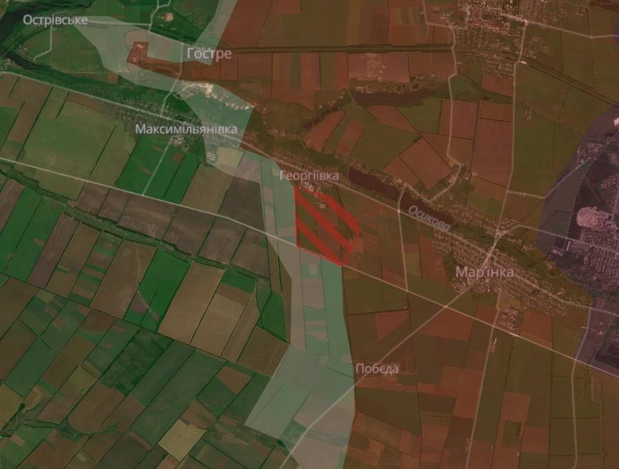
They also captured positions near Heorhiyivka.
 Screenshot of the DeepState interactive map
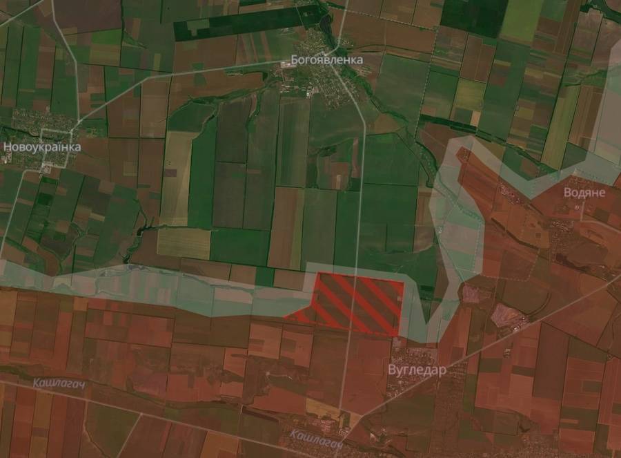
In addition, they continue to move in the area of the previously occupied Vuhledar, capturing a number of positions northwest of the town.
 Screenshot of the DeepState interactive map
As Ukrainian News Agency earlier reported, on October 2, the Defense Forces of Ukraine announced that units of the Ukrainian army withdrew from Vuhledar of the Donetsk Region. The defense of the town lasted more than two years with varying intensity of fighting.
We will remind you that on October 3, President Volodymyr Zelenskyy publicly commented on the withdrawal of the Armed Forces of Ukraine from Vuhledar.
We also wrote that the formation of the Ukrainian Legion in Poland is under question, as Ukrainians do not want to join the unit.
Who we are: About us, Contacts. How we write news and our principles: Editorial code. We did our best. If you found this valuable – please support us.
To request a correction, please send an email.