The Google Maps service has removed satellite images of military facilities of the Defense Forces of Ukraine from its map. These pictures were in the public domain for four days.
This was announced by Andrii Kovalenko, head of the Center for Countering Disinformation at the National Security and Defense Council of Ukraine.
"Google has corrected the situation with maps. Military objects and systems are no longer displayed <...> Thank you," Kovalenko wrote in Telegram.
According to him, Ukraine and Google have agreed that there will be no more such situations in the future.
The day before, Kovalenko announced plans to meet with company representatives to discuss hiding satellite images of Ukrainian military facilities from Google Maps.
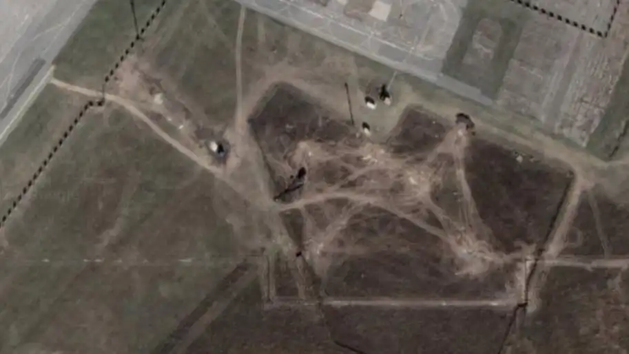
At that time, he explained that it is not possible to publicly publish pictures of military facilities, even if they were taken last year, because with their help one can see the strategy of placing such facilities.
As Ukrainian News Agency earlier reported, on November 3, the Center for Countering Disinformation announced that the Google Maps service had published satellite images of military facilities in Ukraine.
Ukraine asked Google to remove these images, but on the day of the request, the company's office had a day off, so no one responded to the requests.
In the afternoon of November 3, it became known that Google representatives had contacted Ukraine after all.
And on November 5, the company explained that the pictures with the military facilities of the Armed Forces of Ukraine were taken a year ago, and also allegedly come from publicly available sources.
Who we are: About us, Contacts. How we write news and our principles: Editorial code. We did our best. If you found this valuable – please support us.
To request a correction, please send an email.