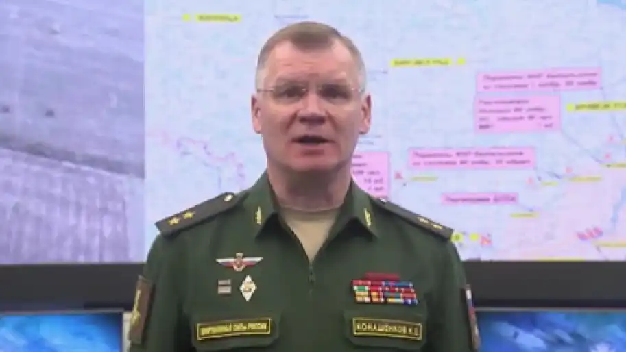
The Russian Ministry of Defense has recognized the escape of its military to Kharkiv region and published a new map with a new front line, where the front line runs along the eastern part of the region.
This was reported by the occupiers during a briefing of the Ministry of Defense of the Russian Federation.
The map shows that the front line runs along the Oskil and shallow Oskil reservoir up to the Ukrainian-Russian border.
According to this map, Vovchansk got under Ukrainian control, which the Russians previously declared the "center" of the region.
As Ukrainian News Agency earlier reported, the Russians fled from Kozacha Lopan, the flag of Ukraine was raised there. This was reported in the Derhachi City Council. In the morning, the head of Derhachi, Vyacheslav Zadorenko, wrote that the occupiers were leaving the village.
In the village of Pishchane, Luhansk region, on September 11, the Ukrainian flag was raised, however, it is currently unknown whether the settlement was completely liberated from the invaders.
The de-occupation of Ukraine continues. In total, in recent days, about two thousand square kilometers of Ukrainian territory have been liberated from Russian occupation. Ukrainian units entered Kupyansk, the liberation of settlements of the Kupyansk and Izium districts of Kharkiv region continues.
On Saturday, September 10, the so-called First Deputy Minister of Information of the Donetsk People's Republic, Daniil Bezsonov, confirmed that the troops of the Russian Federation left the city of Izium and some other settlements in Kharkiv region.
Who we are: About us, Contacts. How we write news and our principles: Editorial code. We did our best. If you found this valuable – please support us.
To request a correction, please send an email.