
The Ukrainian analytical project DeepState claims that the army of the aggressor country russia has advanced near three settlements in the north of the Donetsk Region.
This is evidenced by the latest update of the DeepState interactive map, made on Thursday, February 26.
According to OSINT analysts, on the Sloviansk axis, the occupiers' army seized a number of positions in the vicinity of Riznykivka and Pazeno (marked with a circle).
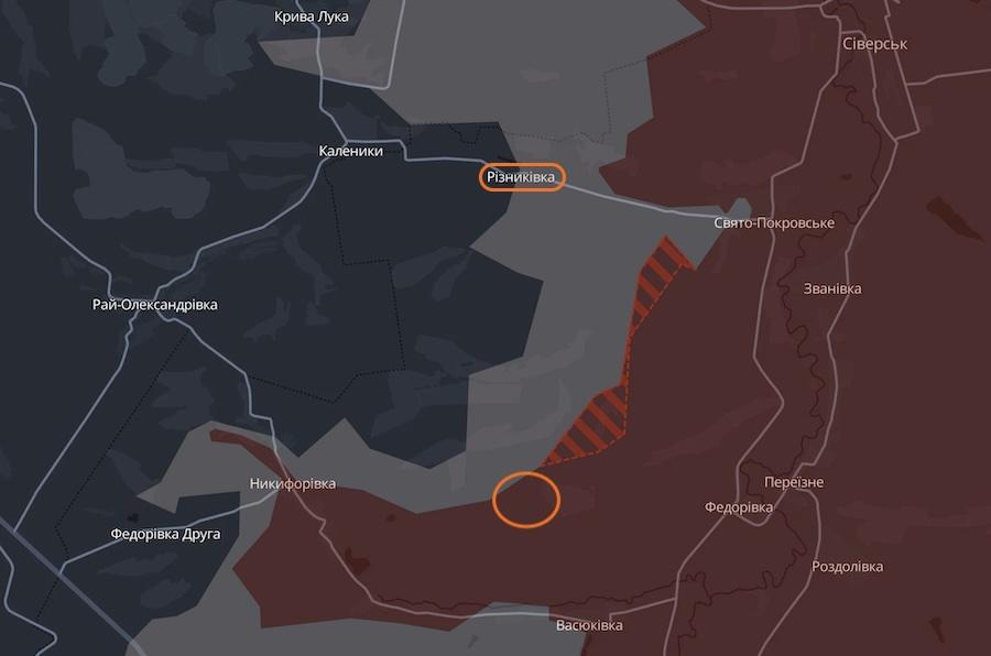 The frussian army advanced near Riznykivka and Pazeno in the north of the Donetsk Region. Photo: screenshot of the DeepState project's interactive map.
On the Kramatorsk axis, russian troops advanced southeast of Pryvillia.
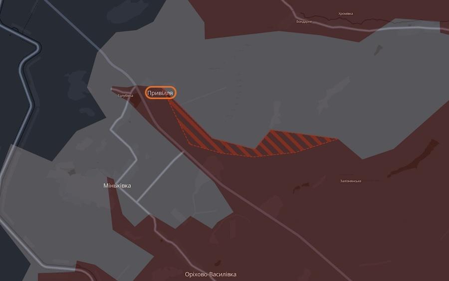 Occupants seized a number of positions near the village of Pryvillia in the north of the Donetsk Region. Photo: screenshot of the interactive map by the DeepState project
On a larger map, the occupiers' advance looks like this.
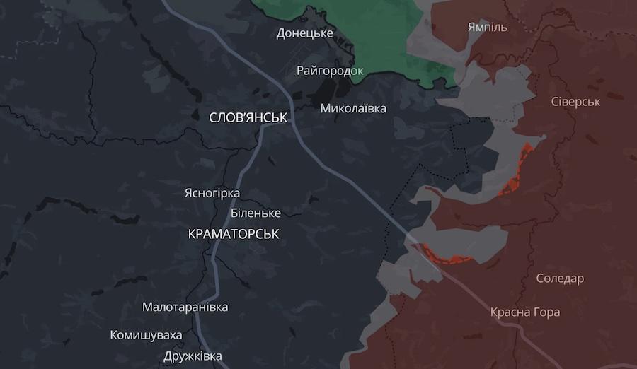 Просування російської окупаційної армії на півночі Донеччини. Фото: скріншот інтерактивної мапи проєкту DeepState.
At the time of publication, the Ukrainian Defense Forces did not confirm or deny this information.
As the Ukrainian News agency earlier reported, yesterday, February 25, a fiber-optic FPV drone of the russians was found on the northern outskirts of Kharkiv. It was launched from the state border and flew over 23 kilometers.
Also yesterday, a video was posted online showing how a Ukrainian cruise missile FP-5 Flamingo hit a production shop on the territory of the Votkinsk plant in the Udmurt Republic of the russian federation.
Who we are: About us, Contacts. How we write news and our principles: Editorial code. We did our best. If you found this valuable – please support us.
To request a correction, please send an email.