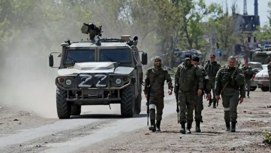
Analysts of the Ukrainian project DeepState have updated their interactive map, noting on it the advance of the russian invaders in the Kharkiv and Donetsk Regions.
DeepState analysts reported this in their Telegram channel.
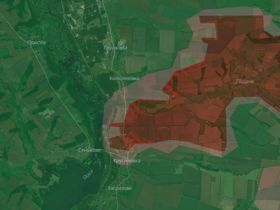
In the Kharkiv Region, the occupiers advanced near the settlements of Pishchane, Kolesnykivka, and Kruhliakivka.
 Screenshot of the DeepState interactive map
In the Donetsk Region, the advance of the occupiers was recorded on three sections of the front.
To the south of the previously occupied city of Selydove, russian troops expanded the control zone in and near the settlement of Kreminna Balka.
 Screenshot of the DeepState interactive map
The largest advance of the occupiers was recorded east of the city of Kurakhove. On this part of the front, the enemy captured the village of Stepanivka and advanced near Illinka and Ostrovske.
 Screenshot of the DeepState interactive map
The enemy also managed to capture a number of positions to the east of the previously occupied Bohoyavlenka.
 Screenshot of the DeepState interactive map
This is how the new advance of russian troops looks on the general map of DeepState.
 Screenshot of the DeepState interactive map
We emphasize that there is currently no official confirmation or denial of this information.
As Ukrainian News Agency earlier reported, on November 4, the General Staff of the Armed Forces of Ukraine updated data on the losses of the occupation army, according to which the russians have already lost more than 700,000 soldiers since the beginning of the full-scale invasion.
We will remind, the day before the National Security and Defense Council of Ukraine announced that in the Kursk Oblast, servicemen of the Defense Forces of Ukraine attacked the soldiers of the North Korean army.
Who we are: About us, Contacts. How we write news and our principles: Editorial code. We did our best. If you found this valuable – please support us.
To request a correction, please send an email.